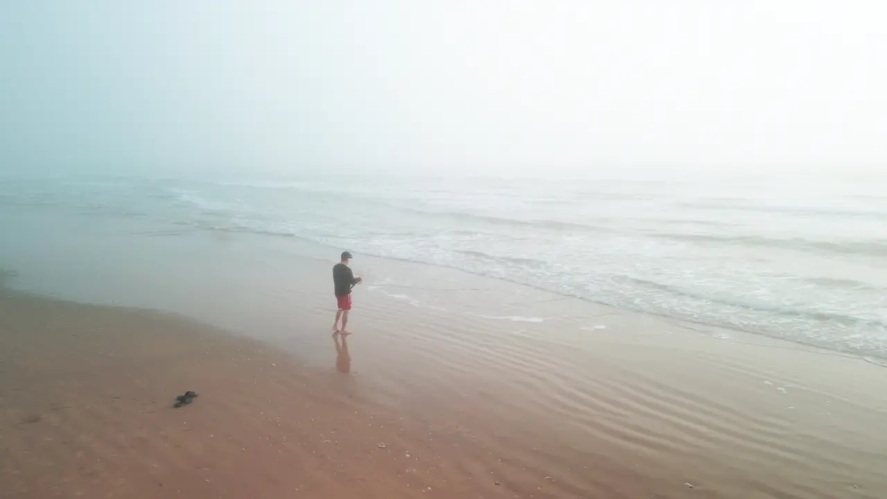
Twenty-five proven fishing spots sit between Anna Maria Island and Boca Grande, and 18 of them need no boat — piers, jetties, pass shorelines, causeways, and two freshwater lakes. This guide covers every one by access type: what bites and when, where to park, what it costs, and the regulation traps at each. Storm status is current as of July 2026.
Where can you fish in Sarasota without a boat?
18 of the 25 spots in this guide are walk-on: 6 piers (most cover your license), 6 pass and jetty shorelines, 4 surf beaches, the Palma Sola Causeway, and Phillippi Creek. Florida residents fish all shore spots free with the no-cost FWC shoreline license.
| Access type | Spots | License needed? |
|---|---|---|
| Piers | Skyway, Bridge Street, Green Bridge, Venice Pier, City Island, Tony Saprito | No — pier license covers you (Skyway: free education course required) |
| Passes & jetties from shore | Longboat, Big Pass, North Jetty, Midnight, Stump, Boca Grande | Free resident shoreline license; non-residents need a saltwater license |
| Surf beaches | Bean Point, Point of Rocks, Nokomis, Caspersen | Same as passes |
| Causeway / creek | Palma Sola, Phillippi Estate Park | Same as passes |
| Freshwater | Myakka, Benderson | Freshwater license (residents not exempt) |
Full license rules — including the free shore-shark permit and who’s exempt — are in our Florida fishing licenses guide.
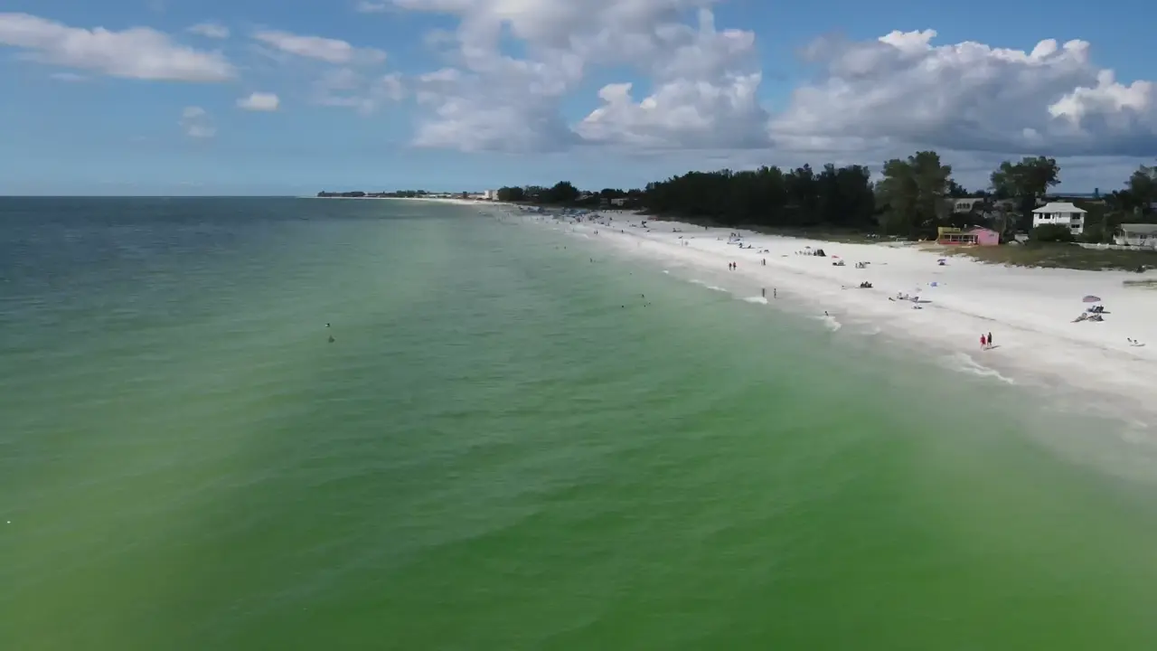
Florida residents fish all shore spots free with the no-cost shoreline license.
Where is every spot on the map?
All 27 are plotted below on satellite imagery — the 25 saltwater spots plus the two freshwater ones. Pin numbers match the numbers used throughout this guide and in the species table at the bottom, so pin 9 on the map is Big Sarasota Pass in the text. Colour is access type: piers, passes and jetties, beaches, shore access that isn’t a beach, bay flats, artificial reefs, freshwater. Tap a pin for the target species, the tide and season window, the depth and bottom, and how you get on the water; every popup carries a link that opens the coordinate in Google Maps for turn-by-turn directions. Reef, flat and bar pins sit at a representative point — a bar that runs most of the way across the bay is not a dot — and the artificial-reef coordinates are the published county numbers.
Which piers are worth fishing in 2026?
Six piers are fishable right now, and on every one of them the pier’s own license covers you. The 2024 hurricanes rearranged the list, so check the status column before you drive.
| # | Pier | Cost | 2026 status | Headline bite |
|---|---|---|---|---|
| 1 | Skyway Fishing Pier (north) | $4/vehicle + $4/angler | North pier open; south pier closed past the bait shop, full replacement announced March 2026 | Night tarpon (summer), spring/fall kingfish and Spanish runs |
| 2 | Bridge Street Pier, Bradenton Beach | Free | Open | Snook, redfish, snapper, seasonal tarpon |
| 3 | Green Bridge Pier, Palmetto | Free | Open | Snapper, pompano, catfish, bonnetheads |
| 4 | Venice Fishing Pier | Free | Open — T-end rebuilt and reopened 2025 | Spanish mackerel, pompano, whiting, night sharks |
| 5 | City Island piers, Ken Thompson Park | Free | Open | Sheepshead, snapper over the O.D. Miller reef |
| 6 | Tony Saprito Pier, Ringling Causeway | Free | CLOSED — hurricane rebuild under way, city targeting fall 2026 | Night snook, trout, mackerel when it reopens |
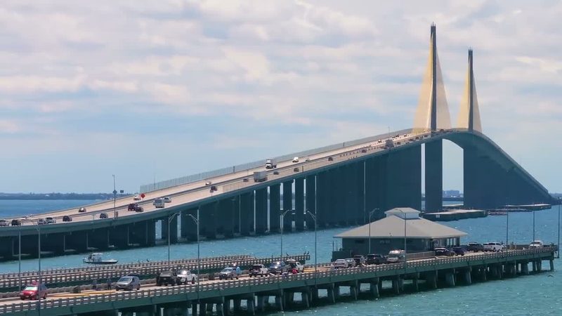
1. Skyway Fishing Pier State Park is the flagship: the world’s longest fishing pier, open 24/7 at the mouth of Tampa Bay, built from the old bridge spans. No individual license needed, but every angler must carry proof of the free FWC Skyway education course — even license-exempt anglers. Gear rules: two hook-and-line sets per angler maximum, and multi-hook/treble rigs are banned November 15–March 15 to protect overwintering tarpon. Fees and hours: Florida State Parks.
2. Bridge Street Pier (200 Bridge St, Bradenton Beach) is Anna Maria Island’s working pier while the City Pier rebuild finishes — bait shop, rod rental around $8/day, restaurant, and no license needed (city page). The Anna Maria City Pier is targeted to reopen fall 2026; the Rod & Reel Pier has no rebuild date.
3. Green Bridge Fishing Pier (801 Riverside Dr, Palmetto) runs 2,000 ft over the Manatee River with cleaning tables and restrooms — the easiest family pier in Bradenton waters.
4. Venice Fishing Pier (Brohard Park, 1600 Harbor Dr S) is 700 ft, free, and open 24 hours, with Papa’s Bait Shop mid-pier (City of Venice).
5. City Island piers at Ken Thompson Park put your feet on concrete directly over a county artificial reef in 9–21 ft — free, next to Mote Marine.
6. Tony Saprito Pier (420 John Ringling Causeway) — 560 ft with an 80-ft T — is closed for hurricane reconstruction with the city aiming for fall 2026. Hart’s Landing, the 1934 bait shop under the causeway, was demolished in the same storms and is slated to rebuild alongside the pier.
Per-pier depth — lights, cleaning stations, every season table — is in the fishing piers and bridges guide.
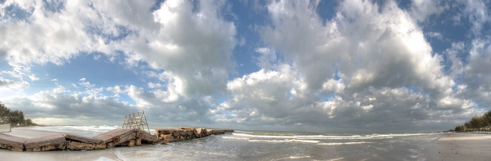
The 2024 hurricanes rearranged the list — check the status column before you drive.
How do the passes fish?
Passes concentrate bait and moving water; they are the most reliable fish magnets on this coast. Six of the seven have real walk-in access, and all seven fish best on a moving tide — check windows in the tides and currents guide before you go.
7. Longboat Pass — between Coquina Beach and Longboat Key. Shore anglers fish the Coquina jetty and the pass trench: pompano along the Coquina shoreline March–May, snook in the trench spring–summer, Spanish mackerel and flounder on the bridge rocks, tarpon off the mouth May–July. Marked, dredged channel — the safest of the three northern passes for boaters.
8. New Pass — between south Longboat and Lido Key, with Mote Marine on the City Island side. Strong current stacks snook, redfish, sheepshead, and flounder on the bridge pilings and jetty rock; the beach-side trough holds summer snook. Channel shifts constantly (4–7 ft) — fish it from the Ken Thompson Park rocks if you’re unsure.
9. Big Sarasota Pass — between Lido and north Siesta Key. Arguably the best snook pass on the coast: fish the bar edges and swash channel on moving water — an outgoing tide in June is the classic setup. Shore access from North Shell Road. The outer bar is unmarked and shifting; boaters treat it as local-knowledge-only.
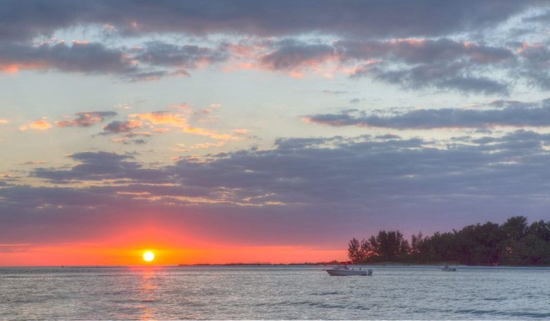
10. Venice Inlet — North Jetty (North Jetty Park, 1000 Casey Key Rd, Nokomis). The best shore structure in Sarasota County: bait shack, restrooms, cleaning stations, free parking. Winter sheepshead pile onto the rock; snook peak May–September on rising tides; pompano, flounder, mackerel, and bluefish fill the calendar. The South Jetty walkway across the inlet remains closed as of mid-2026 (status). Regulation trap: FWC’s snook management zones split near the inlet — check the FWC snook map before keeping a fish.
11. Midnight Pass — reopened by the 2024 hurricanes after 40 years closed, and Sarasota County intends to keep it open, funding weekly surveys (county page). Walk south from Turtle Beach on Siesta Key. New, unmarked, strong current — fish the edges on foot; do not run it in a boat.
12. Stump Pass — Stump Pass Beach State Park (900 Gulf Blvd, Englewood): snook, redfish, flounder, whiting off the pass and bars, tarpon off the mouth in season, shark teeth in the sand. Park closes at sunset.
13. Boca Grande Pass — the Tarpon Fishing Capital of the World, ~80 ft deep, thousands of tarpon April–June. Shore anglers get genuine pass access from Lighthouse Point at Gasparilla Island State Park in Boca Grande. Know the special rules: tarpon are catch-and-release statewide, bottom-weighted “jig-snagging” rigs are banned in the pass year-round, and April–June brings a three-line limit and breakaway-gear ban — details at FWC tarpon FAQs.
Navigation notes, shoaling warnings, and the full story on all six inlets: passes and inlets guide.
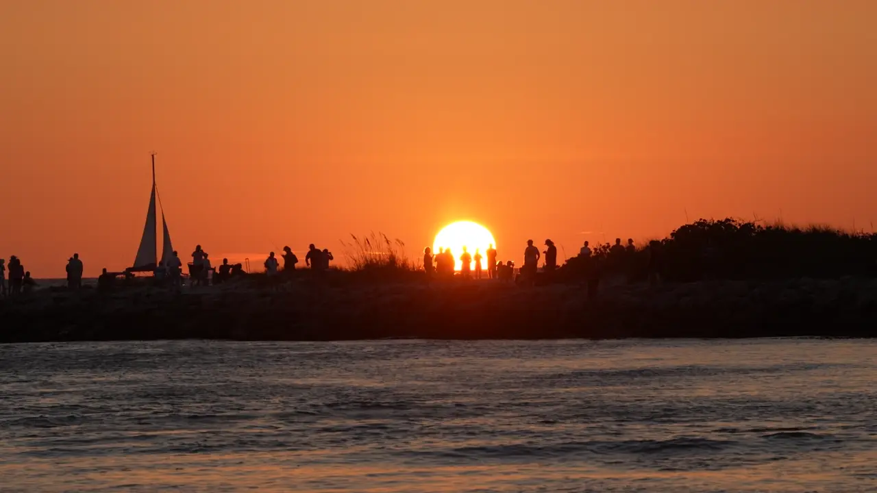
Snook peak May through September on rising tides.
What are the best beach and surf spots?
The pattern on every Gulf beach here: fish the trough — the parallel gutter of deeper water often within 30 ft of dry sand. Snook cruise it at first light May–September; pompano hold in it January–April.
14. Bean Point — the north tip of Anna Maria Island, where Tampa Bay meets the Gulf. Snook on the rocks, staging tarpon in early summer, big current seams. Street parking is scarce — arrive early.
15. Point of Rocks — south end of Crescent Beach, Siesta Key: the only natural rock reef on the beach. Snook and mangrove snapper live in the rocks year-round. Free beach access points off Point of Rocks Road.
16. Nokomis Beach — Casey Key’s public beach, a short walk north of the North Jetty. Early-summer snook in the trough, whiting year-round, and you can swing to the jetty when the surf bite dies.
17. Caspersen Beach — south of the Venice Pier: whiting, pompano, and the region’s best land-based shark water. Blacktips run the summer surf at night on cut ladyfish. Targeted shore shark fishing requires the free FWC Shore-based Shark Fishing permit and its online course, and chumming from the beach is prohibited — rules in our FWC regulations guide.
Rigs, seasons, and a dozen more sand spots: surf and shore fishing guide.
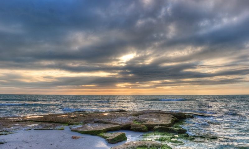
Where can you fish from shore that isn’t a beach?
18. Palma Sola Causeway (Manatee Ave W, Bradenton) — miles of park-beside-the-water shoreline on Palma Sola Bay. Redfish, snook, and spotted seatrout along the whole causeway, flat and protected. The single best kids-first-fish spot in the region.
19. Phillippi Creek (Phillippi Estate Park, 5500 S Tamiami Trail, Sarasota) — the city’s urban winter snook hole. Fish push into the creek’s deeper, warmer water December–February; the US 41 bridge and adjacent seawalls hold the big ones. Summer brings juvenile tarpon, jacks, snapper, and black drum. The flats at the creek mouth are a top kayak spot.
A note on bridges: Florida law prohibits fishing from state-road bridges where posted (FS 316.1305). Fish the dedicated structures — the piers above — not active vehicular spans. Night snook around the Ringling, Siesta Drive, and Stickney Point shadow lines is a boat game; see dock light night fishing.
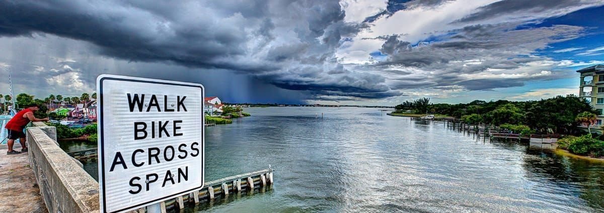
Florida law prohibits fishing from state-road bridges where posted.
Where are the bay flats and wade spots?
Sarasota Bay’s grass flats are the inshore engine. Three named spots produce year after year — reach them by skiff, kayak, or in two cases by wading:
20. Long Bar (Longbar Point) — mid-bay, extending from the east shore nearly across the bay. Redfish school on the south side on a low incoming tide; trout hold on the deeper grass edge where the bar drops. Classic sight fishing water.
21. Buttonwood Harbor — the deep-grass basin behind mid-Longboat Key. Snook and redfish shallow on high tide, trout on the deep grass, with Whale Key’s mangrove edges next door.
22. The Radio Tower flat and Ringling causeway flats — submerged grass from the sailboat anchorage south to the Ringling Causeway, plus the Bird Key edges. Trout, ladyfish, mackerel, bluefish, and pompano — the multi-species drift when nothing else is working. Snook stack on the causeway dock lights at night.
Wade quietly and watch your prop: seagrass scars take 5–10 years to heal. Launch points for all three are mapped in the kayak fishing launches guide and the boat ramps directory.
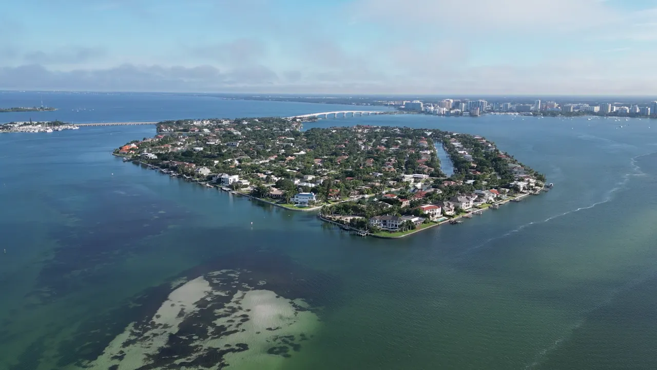
Seagrass scars take 5 to 10 years to heal. Watch your prop.
Which artificial reefs should you run to?
23. The Sarasota Bay kayak reefs. Eight county reefs sit inside the bay in 7–21 ft — paddle range from City Island and Bird Key Park. The close three: O.D. Miller (27°20.190’N, 82°34.546’W, at the City Island piers), Pop Jantzen (27°19.709’N, 82°33.849’W), and Hart’s Family (27°22.075’N, 82°34.477’W). Sheepshead, mangrove snapper, snook, and black drum live on the rubble.
24. The New Pass nearshore line. Three reefs within 2 nm of the New Pass buoy in 22–30 ft: Lynn Silvertooth (I1), Alan Fisher (I2 — built from the old New Pass Bridge), and Donald Roehr (I3). Gag grouper in season, snapper, mackerel, and cobia — a small-boat day when the Gulf lies down.
25. The Venice V-reefs and M-line. Five limestone-boulder reefs (V-1 through V-5) start 0.6 nm off Venice Inlet in 17 ft, and the M-series runs out to Army tanks and barges in 40–110 ft — including the Fallen Heroes reef (five tanks, 65 ft). Permit and hogfish show on the V-reefs; the deep sites hold red grouper, gags, and amberjack. Bottom fishing rules apply: descending device aboard, and check season dates first.
Full coordinate tables for all three counties, materials, and what lives at each depth: artificial reefs guide. The state’s master database is the FWC reef locator, and the county program pages (Sarasota County reefs) publish the official brochures.
Where can you fish freshwater in Sarasota?
Two spots cover the freshwater itch — both need a Florida freshwater license (no free shoreline version; residents included).
Myakka River — Florida’s state-designated Wild and Scenic river. The upper river through Myakka River State Park is bass, panfish, and alligators; the lower tidal stretch from Snook Haven (5000 E Venice Ave, Venice) down to El Jobean is a winter snook refuge, with juvenile tarpon in the brackish creeks. Tannin water — fish shoreline structure and creek mouths. More in the rivers and backcountry guide.
Nathan Benderson Park — 400 acres of open freshwater beside I-75 at University Parkway. Largemouth bass, bluegill, and channel catfish from the west bank, south shore, and east bank; land and paddle fishing allowed, gas motors prohibited (park site).
Which spots are completely free?
Every no-cost spot in one table. The numbered pins on the map above cover all 27; these links open navigation directly.
| Spot | Town | Map |
|---|---|---|
| Bridge Street Pier | Bradenton Beach | Map |
| Green Bridge Pier | Palmetto | Map |
| Bean Point | Anna Maria | Map |
| Coquina Beach / Longboat Pass | Bradenton Beach | Map |
| Palma Sola Causeway | Bradenton | Map |
| Ken Thompson Park / City Island | Sarasota | Map |
| North Shell Road (Big Pass) | Siesta Key | Map |
| Point of Rocks | Siesta Key | Map |
| Turtle Beach → Midnight Pass | Siesta Key | Map |
| Phillippi Estate Park | Sarasota | Map |
| North Jetty Park | Nokomis | Map |
| Nokomis Beach | Casey Key | Map |
| Venice Fishing Pier | Venice | Map |
| Caspersen Beach | Venice | Map |
| Stump Pass Beach State Park | Englewood | Map |
| Lighthouse Point / Boca Grande Pass | Boca Grande | Map |
| Nathan Benderson Park | Sarasota | Map |
The Skyway ($4 + $4) and Florida State Parks (nominal entry) are the only paid entries on the full list of 25.
What spot should you pick for your target species?
| Species | Best spots | Best window |
|---|---|---|
| Snook | Big Pass (9), North Jetty (10), beach troughs (14–16), Phillippi Creek in winter (19) | May–Sep beaches; Dec–Feb creeks. Harvest: Mar 1–Apr 30 & Sep 1–Nov 30, slot 28–33”, snook stamp |
| Tarpon | Boca Grande Pass (13), Bean Point (14), Big Pass bar (9), Skyway nights (1) | Apr–Jul; catch-and-release only |
| Pompano | Coquina shoreline (7), Caspersen (17), Venice Pier (4) | Jan–Apr |
| Redfish | Long Bar (20), Palma Sola (18), Buttonwood (21) | Year-round; fall schools |
| Spotted seatrout | Radio Tower flat (22), Long Bar edges (20), Buttonwood deep grass (21) | Year-round; best Oct–May |
| Sheepshead | North Jetty (10), bay reefs (23), City Island (5) | Dec–Mar |
| Spanish mackerel | Venice Pier (4), pass mouths (7–10), nearshore reefs (24) | Mar–May, Oct |
| Gag grouper | New Pass reef line (24), Venice M-reefs (25) | Short season — verify dates with FWC before you go |
| Sharks | Caspersen–Manasota surf (17), Skyway (1) | Jun–Sep nights; free shore permit required |
Regulations change midyear — verify current rules at myfwc.com before you fish, and see the season-by-season plan in our FWC regulations guide.
FAQ
Do I need a fishing license to fish from shore in Sarasota? Florida residents need the free FWC shoreline license; non-residents need a regular saltwater license ($17/3-day). Licensed piers — the Skyway, Venice Pier, Bridge Street — cover everyone fishing on them. Details: FWC shoreline FAQs.
Where can you night fish in Sarasota? The Skyway and Venice Pier run 24/7 — night tarpon and sharks respectively. Public beaches generally allow night fishing; state parks with posted hours (Stump Pass) close at sunset. Dock-light snook is the classic after-dark game.
What’s the best spot for kids? Palma Sola Causeway for flat, protected, park-beside-the-water shoreline; Bridge Street Pier for rod rentals (~$8/day) and constant action; Green Bridge Pier for restrooms and cleaning tables.
What’s the best fishing spot in Sarasota overall? Big Sarasota Pass for snook, Boca Grande Pass for tarpon, the North Jetty for year-round variety from shore. If you get one morning and no boat: the North Jetty on a rising tide.
Can you fish for free in Sarasota? Yes — 17 spots in this guide cost nothing beyond the free resident shoreline license: five free piers, every beach and pass shoreline, Palma Sola, and Phillippi Estate Park.
Related
Go deeper on each access type: the fishing piers and bridges guide has every pier’s full data table, the passes and inlets guide covers navigation and shoaling, the surf and shore guide has rigs and seasons for the sand, and the artificial reefs guide carries the complete GPS tables. Boaters start at the boat ramps directory; paddlers at the kayak launches guide. Pick your bait first at one of the local bait and tackle shops, and check the week’s bite on the Siesta Key and Venice area pages.