Three county reef programs — Sarasota, Manatee, and Charlotte — maintain more than 40 artificial reefs between Anna Maria Island and Boca Grande, from 7-foot bay reefs you can paddle to from Bird Key Park to Army tanks sitting in 65 feet of Gulf water. Every coordinate below is a published reef center point; the FWC artificial reef locator carries the full statewide database with downloadable GPS files.
Coordinates are degrees + decimal minutes. Reef sites are deployment areas, not single points — idle around the number and watch the sounder.
Where is every reef on the map?
Forty-six sites with published coordinates, plotted by depth band, because depth is what decides the boat you need and what you catch. Green is kayak range inside the bays; red is a 28-mile run. Tap a pin for the depth, what it was built from, and the bearing off the pass.
Manatee County’s ten sites are in the table further down but deliberately not on the map — that county publishes depth and bearing without coordinates, so pull those from the FWC reef locator before you run to them.
Which Sarasota Bay reefs can I reach by kayak?
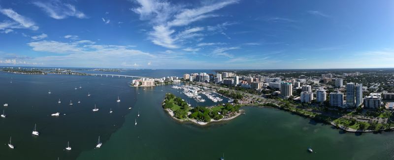
Eight county reefs sit inside Sarasota Bay and Roberts Bay in 7–21 feet of water, all within paddling range of a public launch. These are the closest structure fishing in town: sheepshead and mangrove snapper on the concrete year-round, snook and redfish working the edges, black drum and trout in the cooler months.
| Reef | Lat N | Lon W | Location | Depth (ft) |
|---|---|---|---|---|
| Hart’s Family | 27°22.075’ | 82°34.477’ | N Sarasota Bay, E of ICW | 10 |
| O.D. Miller | 27°20.190’ | 82°34.546’ | Off the City Island fishing piers | 9–21 |
| Pop Jantzen | 27°19.709’ | 82°33.849’ | NW of Bird Key Park | 7 |
| Jim Evans | 27°19.727’ | 82°33.452’ | S of Ringling Causeway | 10 |
| Bully Powers | 27°18.862’ | 82°34.292’ | W of Otter Key | 12 |
| Rose Coker | 27°18.698’ | 82°32.537’ | NE of Siesta Drive Bridge | 7 |
| Jonnie Walker | 27°22.380’ | 82°35.525’ | NW of Ringling Causeway | 12 |
| Sportfishing Anglers Club | 27°21.080’ | 82°35.883’ | NW of Ringling Causeway | 12 |
Materials are concrete rubble, FPL insulators, limestone boulders, and reef balls. O.D. Miller is the no-boat option — it lies off the free City Island piers at Ken Thompson Park, next to Mote Marine. Full table and materials list: Sarasota County reef brochure (PDF).
Where are the Gulf reefs off Sarasota County?
Sarasota County’s Gulf sites run from 17 feet off Venice Inlet to 110 feet nearly 30 miles out. Bearings below are from the New Pass buoy or Venice Inlet. Program contact: Sarasota County Call Center, 941-861-5000 (Coastal Resources). County page: Sarasota County artificial reefs.
Nearshore (17–43 ft):
| Reef | Lat N | Lon W | Distance/heading | Depth (ft) | Materials |
|---|---|---|---|---|---|
| V-1 | 27°06.187’ | 82°27.857’ | 0.62 nm @ 152° Venice Inlet | 17 | Limestone boulders |
| V-2 | 27°06.040’ | 82°27.836’ | 0.77 nm @ 156° Venice Inlet | 17 | Limestone boulders |
| V-3 | 27°05.869’ | 82°27.741’ | 0.96 nm @ 155° Venice Inlet | 17 | Limestone boulders |
| V-4 | 27°05.756’ | 82°27.698’ | 1.08 nm @ 156° Venice Inlet | 17 | Limestone boulders |
| V-5 | 27°03.916’ | 82°26.998’ | 3.02 nm @ 159° Venice Inlet | 17 | Limestone boulders |
| I3 – Donald Roehr | 27°18.208’ | 82°35.539’ | 0.9 nm @ 146° New Pass | 22 | Orange Avenue Bridge rubble |
| Venice Reef | 27°04.587’ | 82°27.509’ | 2.3 nm @ 164° Venice Inlet | 23 | Concrete culvert |
| I4 | 27°06.304’ | 82°28.905’ | 0.7 nm @ 236° Venice Inlet | 25 | Venice bridge and pier rubble |
| I1 – Lynn Silvertooth | 27°17.159’ | 82°35.985’ | 1.8 nm @ 177° New Pass | 30 | Concrete boxes, reef balls, Ringling Causeway rubble |
| I2 – Alan Fisher | 27°18.111’ | 82°37.125’ | 1.3 nm @ 227° New Pass | 30 | New Pass Bridge rubble |
| M15 | 27°05.001’ | 82°32.524’ | 4.3 nm @ 246° Venice Inlet | 38 | Concrete rubble |
| Gary Serviss | 27°19.172’ | 82°43.164’ | 6.4 nm @ 272° New Pass | 42 | Steel barge, culverts |
| Tom Wallin | 27°18.745’ | 82°43.001’ | 6.2 nm @ 268° New Pass | 42 | Culverts, boxes, mixer drums |
| M4 | 27°15.170’ | 82°43.162’ | 7.4 nm @ 239° New Pass | 42 | Concrete rubble, reef balls |
| M3 | 27°16.717’ | 82°43.261’ | 6.9 nm @ 254° New Pass | 43 | Culverts, boxes, mixer drums |
| M5 | 27°13.422’ | 82°43.131’ | 8.5 nm @ 228° New Pass | 43 | Concrete culverts |
| M13 | 26°55.099’ | 82°27.882’ | 11.5 nm @ 178° Venice Inlet | 43 | Concrete culvert |
| M14 | 26°52.236’ | 82°26.441’ | 5.7 nm @ 255° Stump Pass | 43 | Concrete rubble |
The V-reefs are the quick trip: five limestone piles in 17 feet, the closest only 0.62 nm off Venice Inlet. The Alan Fisher reef is the old New Pass Bridge — the same pilings that held snook inside the pass, sunk in 30 ft of Gulf. Snapper, sheepshead, and mackerel work these inside reefs; the grouper fishery starts on the M-series and the ledges beyond.
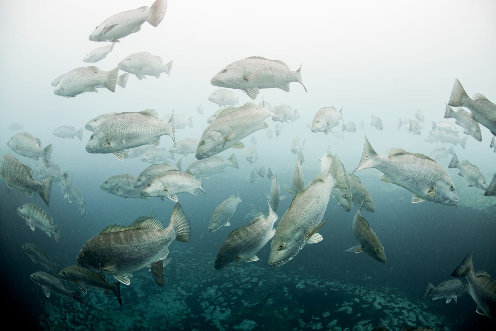
Bridges, culverts, boxcars and tanks — the Gulf bottom is what the county put there.
Mid-depth and deep (49–110 ft):
| Reef | Lat N | Lon W | Distance/heading | Depth (ft) | Materials |
|---|---|---|---|---|---|
| M16 | 27°03.827’ | 82°35.625’ | 7.3 nm @ 246° Venice Inlet | 49 | Culverts, catch basins |
| M7 – Johnson | 27°16.281’ | 82°48.043’ | 11.3 nm @ 258° New Pass | 50 | Boxcars, culverts |
| M6 | 27°11.301’ | 82°43.595’ | 10.2 nm @ 225° New Pass | 55 | Boats, culverts, mixer drums |
| M9 | 27°04.189’ | 82°42.103’ | 12.8 nm @ 259° Venice Inlet | 61 | Concrete rubble, five Army tanks |
| Sarasota Sportsmen Assn | 27°02.674’ | 82°38.791’ | 10.4 nm @ 246° Venice Inlet | 63 | Reef balls |
| Fallen Heroes / CWO Kyle Jackson Trail | 27°12.528’ | 82°48.121’ | 12.6 nm @ 239° New Pass | 65 | Five Army tanks, landing craft, boxcars, reef balls |
| M10 | 27°01.887’ | 82°42.583’ | 13.7 nm @ 250° Venice Inlet | 65 | Sailboat, boats, steel barge |
| M11 | 26°59.045’ | 82°42.797’ | 15.1 nm @ 239° Venice Inlet | 70 | Reef balls |
| MD1 | 27°09.691’ | 82°53.062’ | 18.0 nm @ 240° New Pass | 80 | Barge, concrete hopper |
| D9 | 26°54.719’ | 82°55.893’ | 28.2 nm @ 220° New Pass | 100 | Steel crane barge, boats |
| D4 | 27°15.440’ | 83°07.136’ | 28.0 nm @ 265° New Pass | 103 | Boxcars |
| D3 | 27°15.931’ | 83°07.207’ | 27.5 nm @ 265° New Pass | 105 | Boxcars |
| D6 | 27°06.190’ | 83°03.192’ | 25.2 nm @ 220° New Pass | 110 | Fiberglass boats and molds |
The Fallen Heroes / CWO Kyle Jackson Memorial Reef Trail is the signature site — five Army tanks, a landing craft, boxcars, and reef balls in 65 feet. One deep-water footnote: the Bay Ronto, a ~400-foot British freighter sunk in 1919, lies offshore of Sarasota and is cataloged in the Florida Go Fishing Sarasota reef database — an advanced dive, not a casual fishing stop.
Five Army tanks, a landing craft and boxcars sit in 65 feet of water.
What reefs are off Anna Maria and Bradenton?
Manatee County has run a reef program since the late 1960s and maintains 13 sites, most within 11 miles of Anna Maria Island. The county publishes an ArcGIS story map with side-scan imagery and video of each site: Manatee County reef story map. Pull exact coordinates from the FWC reef locator before you run.
| Reef | Depth (ft) | Location |
|---|---|---|
| Bayshore North / Bayshore South | ~10 | Inshore patch reefs |
| Bulkhead Reef | ~15 | ~2.5 mi @ 67° from AMI, inside Tampa Bay near the Bulkhead flat |
| 1 Mile Reef | ~25 | ~1.5 mi W of Bradenton Beach; Skyway bridge materials, reef balls, culverts |
| 3 Mile North Reef | ~28 | ~3.4 mi @ 221° from NW tip of Anna Maria Island |
| 3 Mile South Reef | ~30 | ~3.5 mi @ 270° from Longboat Pass; reef balls, culverts |
| Gucken (Sean Gucken Memorial) | ~33 | Patch reef, constructed 2020–21 |
| 7 Mile North Reef | ~40 | ~8.2 mi @ 270° from Anna Maria Island |
| 7 Mile South Reef | ~40 | Bay balls, concrete poles, culverts, barge |
| Anna Maria Ledge | ~46 | Natural ledge, ~10.6 mi @ 260° from AMI north tip |
| Docs Barge | ~59 | Offshore barge wreck |
Program details: Manatee County artificial reefs. Just north, Port Manatee Reef (27°39.79’N, 82°34.74’W, 19–21 ft) sits 1.5 nm NW of Port Manatee inside Tampa Bay — an easy run from the Manatee River ramps.
What about Charlotte County reefs near Englewood and Boca Grande?
Charlotte County’s program covers Charlotte Harbor itself plus Gulf sites off Stump Pass and Englewood. Official coordinate sheet: Charlotte County reef coordinates (PDF); program page: Charlotte County artificial reefs.
| Reef | Lat N | Lon W | Depth (ft) | Materials / notes |
|---|---|---|---|---|
| Charlotte Harbor Reef | 26°50.50’–26°51.50’ | 82°05.30’ | 12 | Culverts, reef balls — in the harbor off Port Charlotte |
| Englewood Fish Haven (1960) | 26°54.7’ | 82°21.8’ | 22 | Bridge rubble |
| Novak Reef | ~26°48.5’ | ~82°19.6’ | 30 | Culverts, bridge sections, Matlacha bridge rubble |
| Stump Pass Reef (SP1–SP3) | ~26°52.25’ | ~82°26.43’ | 42–45 | Concrete culverts |
| Tremblay Reef | ~26°48.3’ | ~82°22.7’ | 42 | 90-ft steel barge, bridge sections |
| Palm Island Ferry Reef | ~26°49.2’ | ~82°31.9’ | 55–56 | 70-ft steel ferry, 60-ft barge, limestone, reef balls |
| Capt. Jeff Steele Memorial Reef | ~26°55.8’ | ~82°35.9’ | 59–60 | 110-ft steel barge, culverts, power poles |
The 12-foot Charlotte Harbor Reef complex is snook, redfish, and sheepshead water inside the harbor — pair it with a Punta Gorda river trip. The barges at Palm Island Ferry and Jeff Steele regularly hold goliath grouper.
What fish live on the artificial reefs?
| Depth band | Typical catch |
|---|---|
| Bay reefs, 7–21 ft | Sheepshead (winter), mangrove snapper, snook, redfish, black drum, trout |
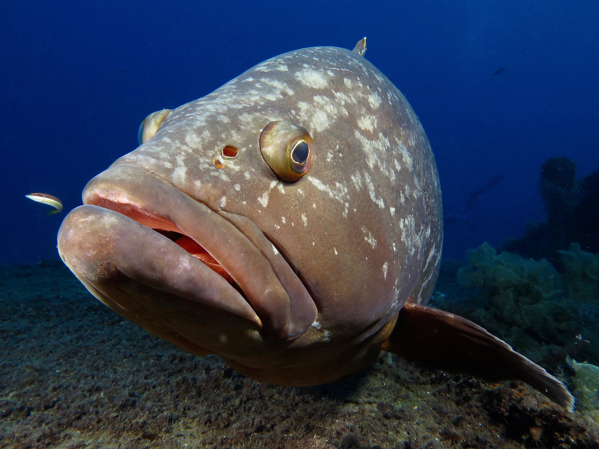
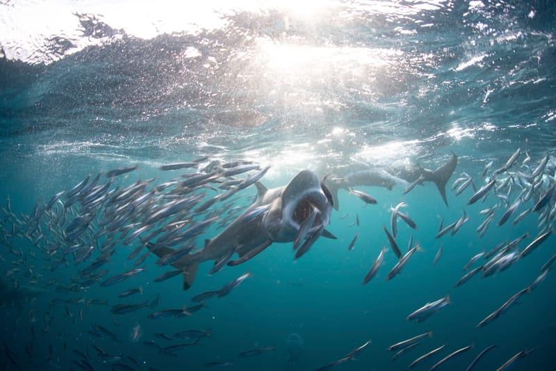
| Nearshore, 17–43 ft | Gag grouper (season-dependent), mangrove and lane snapper, sheepshead, Spanish and king mackerel, cobia, hogfish, permit on the V-reefs, goliath grouper |
| Deep, 49–110 ft | Red grouper, gag, snappers, amberjack, kingfish |
Live shrimp or a live bait pinfish freelined over the structure covers most of that list. On the bay reefs, a popping cork rig keeps your bait above the snaggy concrete. Gag and red grouper seasons and size limits change — check the current FWC reef fish rules at myfwc.com and verify current rules before you fish.
How do I find exact reef coordinates?
- FWC artificial reef locator — statewide database, downloadable GPS files, every permitted reef in all three counties.
- Sarasota County reef brochure (PDF) — full county table with materials and bearings.
- Charlotte County interactive reef map — clickable deployments with dates.
- Manatee County story map — side-scan sonar imagery of each site.
Load the numbers before you leave the dock; cell coverage fades past the nearshore sites.
FAQ
Can I fish Sarasota’s artificial reefs without a boat? Yes — O.D. Miller Reef lies off the free City Island fishing piers at Ken Thompson Park (9–21 ft). Everything else needs a kayak or boat; Pop Jantzen and Rose Coker are 7-foot sites within a short paddle of Bird Key Park and the Siesta Drive bridge.
How far offshore are the tank reefs? Five Army tanks sit on M9, 12.8 nm from Venice Inlet in 61 ft; five more on the Fallen Heroes / CWO Kyle Jackson Trail, 12.6 nm from New Pass in 65 ft.
Are the reef coordinates exact? They are published center points of deployment areas that can span hundreds of feet. Search a radius around the number with your sounder.
Do I need a license to fish the reefs? A Florida saltwater fishing license, yes, unless you are fishing from a licensed pier or are exempt. Rules: FWC recreational fishing.
Which county reef is best for grouper? The 42–65 ft Sarasota County sites (Gary Serviss, Tom Wallin, M-series, Fallen Heroes) are the consistent gag water; deeper D-series sites in 100+ ft produce red grouper. Season and bag rules change — verify at FWC first.
Related
Structure fishing starts with getting there: read Sarasota’s passes and inlets before running an unfamiliar pass, and see rivers and backcountry for the winter alternative when the Gulf blows out. Species intel: snook, redfish, and tarpon all use bay structure seasonally.